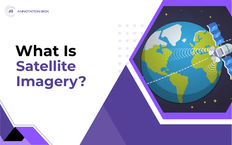
Satellite imagery has quietly transformed how we understand, manage, and protect our planet. From tracking urban growth to predicting crop yields and responding to disasters, the view from space is now an indispensable part of modern life. Let’s explore –...
Summary - Geospatial data tagging is a process that associates geographical information with data,... opening up a world of possibilities for businesses, researchers, and individuals. Read more Geospatial data tagging provides location-specific information that...
Summary - Mastering Remote Sensing Data Labeling is a comprehensive guide exploring the significance of remote sensing and data labeling in Earth observation. It covers annotation techniques, U.S. regulations, advanced processing methods, and tools like ArcGIS and...
Summary - Discover the power of AI in Geospatial Annotation and how businesses leverage spatial data for efficiency and informed decision-making.... user reporting, with clear guidelines and impartiality being key.Read more Geospatial artificial intelligence...
Summary - Explore Precision in GIS Mapping Accuracy. Discover the art of pinpoint accuracy in GIS mapping! Unearth insights into achieving precision in spatial data analysis.... user reporting, with clear guidelines and impartiality being key.Read more In our modern,...
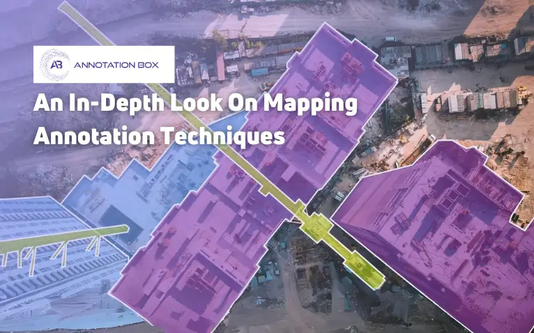
Summary - Using mapping annotation techniques, you can enhance the precision of geospatial data, improving the accuracy and usefulness of maps and spatial analyses.... opening up a world of possibilities for businesses, researchers, and individuals. Read more With the...